 |
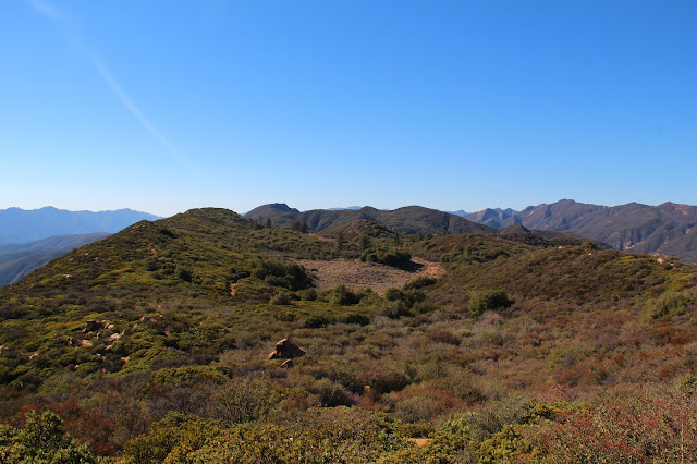
| The First Dry Lake Along Dry Lake Ridge |
You will follow me and we will ride to glory, way up, the middle of the air!
And I'll call down thunder and speak the same and my work fills the sky with flame
And might and glory gonna be my name and men gonna light my way.
Just out of Ojai and beyond the point where the Maricopa Highway squeezes through the slot of Wheeler Gorge, a high mountainous barrier towers above the roadway to the north. The unmistakable geologic feature with an east-west orientation is so impenetrable that the road-builders were to forced snake around it when the road (
originally designated Highway 399, but now Highway 33) was surveyed and constructed in the early part of the last century.
This imposing obstacle is Dry Lakes Ridge.
In my many forays into the Ventura County back-country, I've admired this ridge with wonder and awe. Based upon the many good trip reports published by my fellow wilderness travelers, I knew the ridge was comprised of a series of dry lakes or basins, and that the area atop the ridge was designated as a botanical area because of the unique flora that it harbors, but never having experienced it myself, I was left to imagine what it was like to travel along its spine.
Well, I now have to imagine no more. Last week, a friend and I decided to tackle the ridge in order to get a first hand look. Given its configuration, and depending upon your definition of the term, there really is no "easy" way to gain the ridge. There are only gradations of steepness. Stated differently, from a topographic perspective, the spread between the contour lines for the ridge range from almost non-existent in some areas to merely close together in other areas. Despite this, there is an obvious and traveled route to the top which involves ascending an old fire-break that runs down the eastern tongue of the ridge to intersect Highway 33 where it tops out near the
Heliport benchmark at elevation 3736.
From the highway to the top of the ridge, the way forward is fairly obvious although there is no established trail. The initial climb is stout but it mellows some once you attain the ridge. There, you get nice looks at the Pine Mountain Ridge, the upper Sespe drainage, the Nordhoff ridge, Lake Casitas, and the coast. The track then continue upward, wending it's way through the ubiquitous manzanita to the high point and your first glimpse of the eastern-most dry lake.
 |
| The Pine Mountain Ridge |
 |
| Piedra Blanca and the Upper Sespe Drainage |
 |
| Zoom of Pine Mountain Ridge |
 |
| The Abandoned Fire Lookout on Nordhoff Peak |
 |
| Nordhoff Ridge, Lake Casitas, and the Channel Islands |
 |
| Toward the Coast |
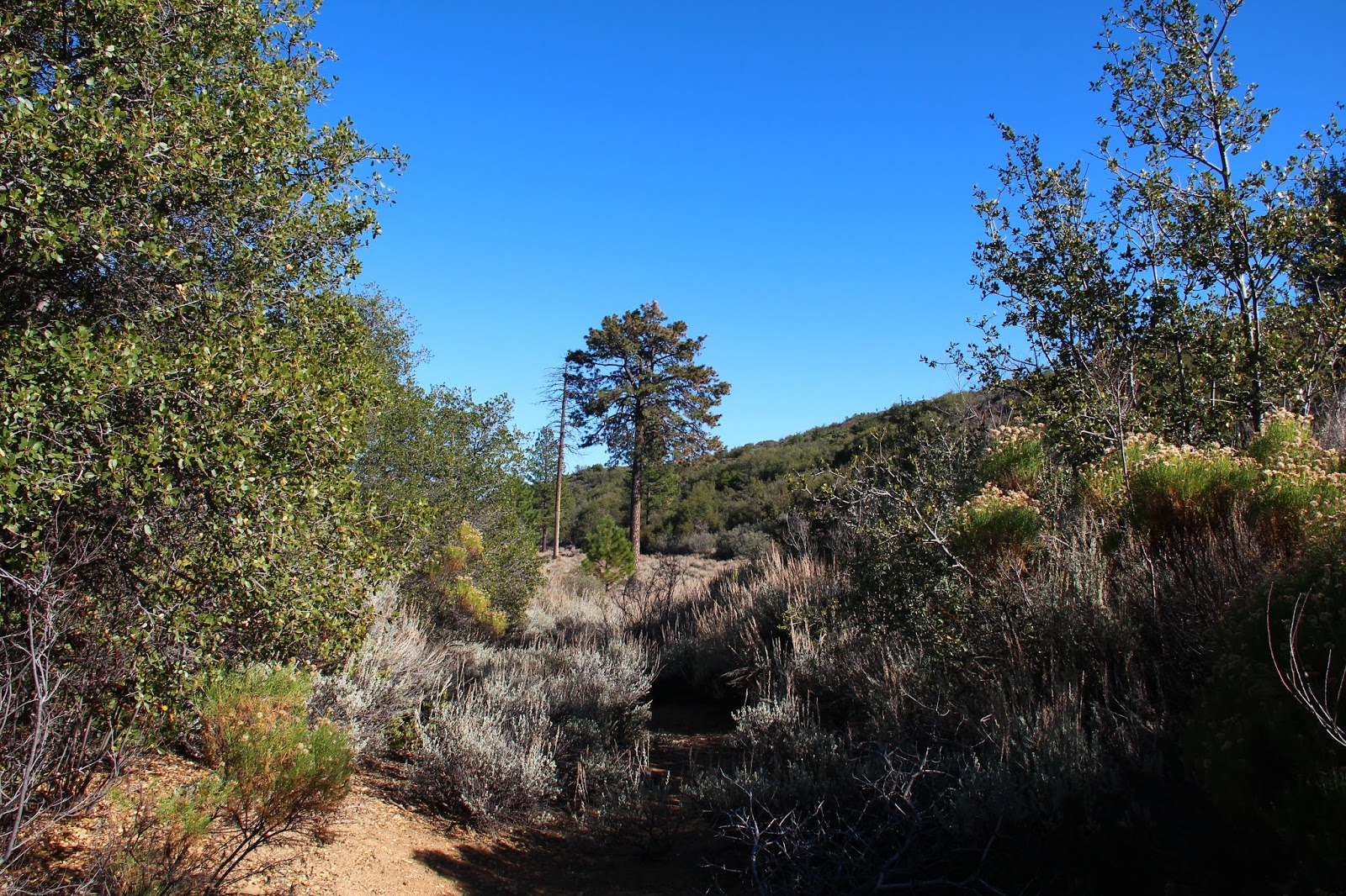
Dropping into the first basin, the "correct" way to go became a bit muddled as various tracks zigzag through the manzanita, buckthorn, wild rose, yucca, and an assortment of other spiky flora that like to jab and grab. We veered left, aiming for an open spot in the sea of brush and what appeared to be "the path." As it turns out, this route terminated in a clump trees which we fought through, ending up in the first dry lake bed itself. We then did battle with the plentiful sage that populates the basin until we picked up the faint use path again on the western edge of the lake. Note to self: go right time.
Once we got back on track, we wandered through the second and third basins which are very similar in character to the first. Beyond the third lake, the path squeezed through some trees before cresting a small hill and revealing the big, open, grassy basin of the fourth lake below. We enthusiastically dropped into the lake bed aiming for the big evergreens in the middle. Here we found shade, a fallen log on which to enjoy lunch, and an old ice can stove, a remnant of a bygone trail camp. This is a really neat spot and we lingered here enjoying the solitude and the sound of the wind rustling through the grass.
 |
| Yellow - yes; Red - no |
 |
| In the First Dry Lake |
 |
| Looking Back Toward the Third Lake |
 |
| The Fourth Dry Lake |
 |
| In the Grassy Bed of the Fourth Lake |
 |
| Looking Back at the "Trail" Into the Fourth Lake |
 |
| Sitting in the Shade |
 |
| Vestiges of the Old Trail Camp |
Just beyond and west of the fourth lake, sits the tiny fifth lake. Had I spent more time studying my maps, I would have known this. But I didn't so I didn't. So instead of visiting this last dry lake while we were in the neighborhood, we instead turned tail here and retraced our steps back to Highway 33. Recognizing the error and stupidity of my ways back in the car, we headed for
Institution Ale Company in Camarillo where I drowned my sorrows in a pint of Citra pale ale and planned a return to the ridge to pick up that last dry lake.
 |
| Citra Pale Ale at Institution Ale Company. Go Here for the Best Beer Anywhere. |


Dry lakes are neat. There's one up on Sunset Ridge near Baldy Village.
ReplyDeleteReally? I did not know that. I'll have to check it out.
Delete