
 |
| Sun Dappled Cold Spring Trail |
The Cold Spring Trail is historically significant as it was once one of the prime routes leading from Montecito into the upper Santa Ynez drainage, along Mono Creek, over the Puerto Suelo in the San Rafael Range, and then into the Cuyama Valley. But the trail today up the East Fork is apparently not in the same location as the original trail. According to the Santa Barbara Trails Council:
"Originally, though, the main route was up the West Fork... Passing the site of the Cold Springs water tunnel, bored into the mountain on land donated by Eugene Sheffield, the trail led up to a 300-foot waterfall on the West Fork. There it switchbacked around it on the west and then proceeded by a large pointed rock at the top of the falls, named “The Pinnacle” by E.M. Heath in his 1904 book, A Guide to Rides and Drives in Santa Barbara. From there, it continued up the creek bottom through a narrows, then began to wind its way up shale slopes to the crest, where it crossed over and down the head of Gidney Creek (Forbush Flats) to the Santa Ynez River.
When the Santa Ynez Forest Reserve was created in 1899 the Cold Springs Trail was improved by the forest rangers. Rather than having to split their efforts on trails up each branch of Cold Springs Creek, they decided to concentrate on the East Fork.
“It is considered advisable,” Forest Inspector Louis A. Barrett wrote to his superiors in Washington in 1905, “to have one well built main trail crossing the Reserve from the Coast to the desert side and one half of the field force will be at work on this trail all the spring.”
Felling (sic) that the trail around the falls and up the shale slopes would be too difficult to maintain, the Forest Service began work on the East Fork. With these improvements, the route up this watershed became known as the Cold Springs Trail, and because of them, became the main route over the mountain wall."
Note that the excerpt above refers to the trail as the "Cold Springs" while I refer to it in the singular, "Cold Spring." There appears to be some confusion about the correct nomenclature. Even the signage at the trail head uses both names on the exact same sign-post. Most folks it seems casually refer to the trail and the canyon it ascends as "Cold Springs." But the topographic maps and other sources I have consulted identify the trail and canyon as "Cold Spring" and I believe that is the correct name.
 |
| Cold Spring Trail Just Beyond the Trailhead |
 |
| Water Cascades Into a Pool in Cold Spring Canyon |
 |
| Cold Spring Creek Deep in the Canyon |
With the recent rains, there was still water flowing in the creek. The surrounding canyon was an orgy of greenery and blooms. In addition to a proliferation of colorful wildflowers and verdant ferns, clovers, and grasses, the canyon was thriving with poison oak. The latter can pretty much be avoided if you stick to the main trail and stay observant.
 |
| Bermuda Buttercup (Non-Native) |
 |
| Wood Fern (Native) |
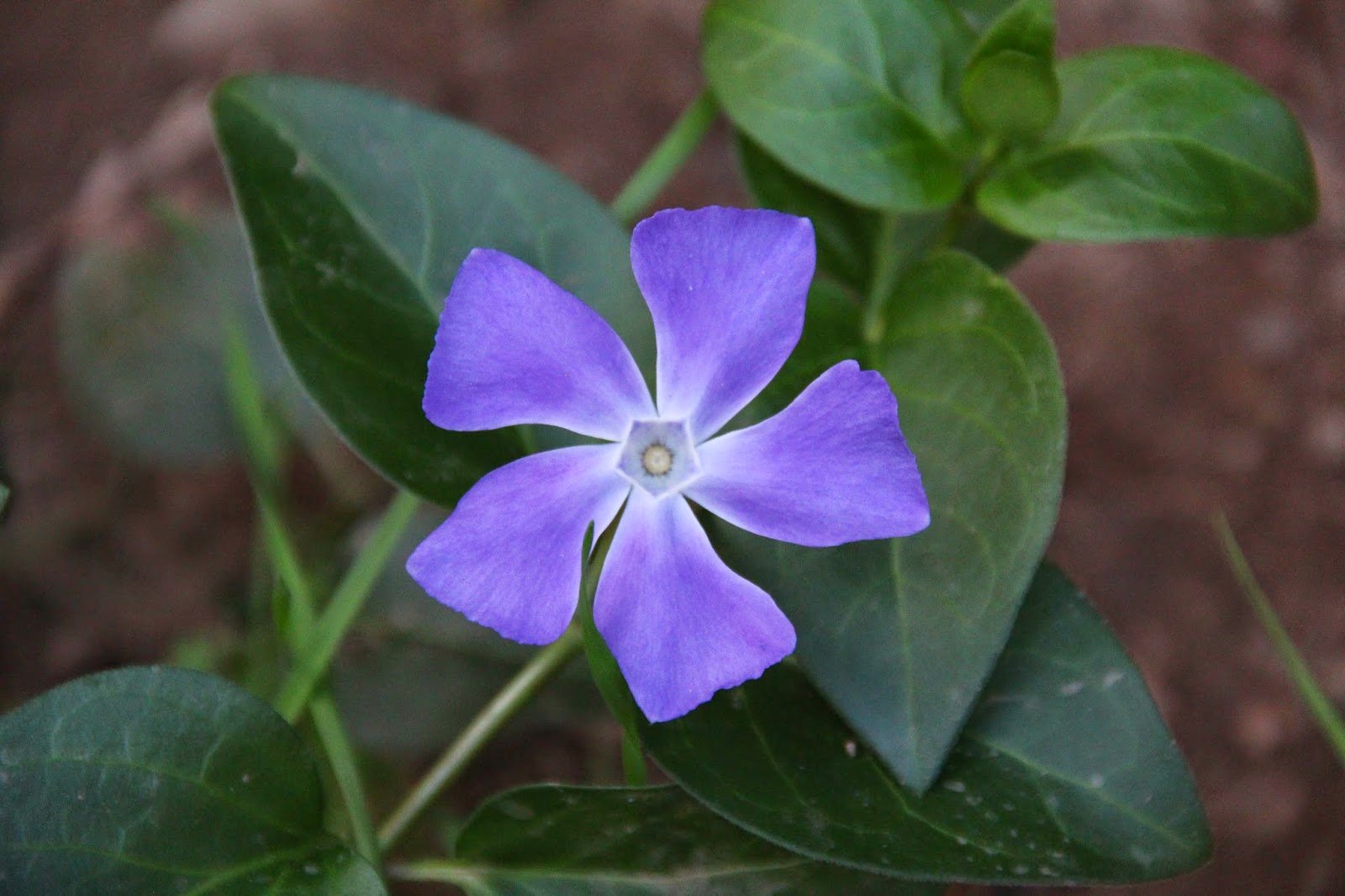 |
| Perfect Vinca in Cold Spring Canyon (Non-Native) |
 |
| Need Assistance with this Identification - Looks like Arugula |
 |
| Evil Devil Bush - This is Quite Common in the Canyon |
 |
| Cabrillo Beach and Stearns Warf from Saddle |
 |
| Anacapa Island in the Santa Barbara Channel |
From this point, the trail begins climbing Montecito's south facing ridgeline through the dense and aromatic chaparral that we all know and love so well. The route becomes rocky here and because of the south-facing orientation, gets quite warm. A couple of out-of-place Eucalyptus trees at about the 2500 foot contour provide some shade and additional views before the final push to the summit.
 |
| Ridgeline Leading to Pt. 3440 (I think) |
 |
| Platforms in the Santa Barbara Channel |
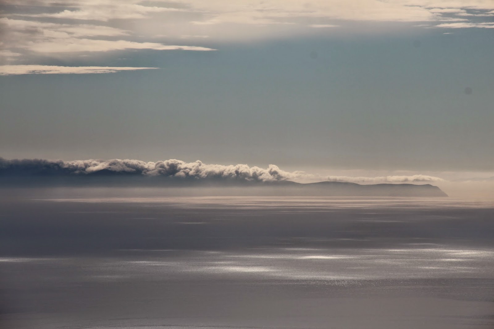 |
| Clouds Boiling Over Santa Rosa Island |
 |
| View from Near the Eucalyptus Trees |
 |
| The Eucalyptus "Grove" Below Montecito Peak |
 |
| The Channel Islands from Montecito Peak |
 |
| Santa Barbara from Montecito Peak |
 |
| View South Toward Carpinteria from Montecito's Summit |
 |
| Lonely Anacapa Island in the Channel Haze |
 |
| These are Modern Times We're Livin' In |