Lost in thought and lost in time
While the seeds of life and the seeds of change were planted
Outside the rain fell dark and slow
While I pondered on this dangerous but irresistible pastime
I took a heavenly ride through our silence
I knew the moment had arrived
For killing the past and coming back to life.
~Coming Back to Life, Pink Floyd
Like most everyone else, I've been hibernating during these dark and uncertain times of fear and death and viruses and hoarding, making more effort than usual to avoid my fellow countrymen and countrywomen. My natural anti-social tendencies and crowd-avoidance inclinations have made this less difficult for me than perhaps others, but even I've been getting the itch to get out and experience something other than my garage. The treadmill is useful and all, and I'm grateful that my wife had the foresight and the tenacity to provide for that outlet, but walking and running on a rotating belt at a maximum 10% grade while staring at a shelf stacked with unused camping gear is a sad and depressing affair. It just doesn't have the same allure as the real deal. As good as innovation and technology are, they can't replicate the sights, sounds, smells, feel, and, most importantly, the exhilaration of the trail. Bashing through thick and unforgiving brush, swatting annoying flies and ticks, dodging dangerous rattlesnakes, cursing un-Godly steep ridges, cursing the oppressive heat, cursing the bitter cold, finding a route where there is no route, worrying about whether you brought enough water, worrying about whether you'll make it back to the car before the sky goes dark, and enjoying a well-deserved summit beer after all of that are experiences that are unique to actually being out of doors. And damn do I miss every aspect of that.
So with some local governments cracking the door slightly ajar this past weekend, I took advantage and made a dash for the hills. Recognizing that literally everyone else in the greater Los Angeles metropolitan area was probably going to do the same, I strategically looked for a location that didn't have high "ooh-ahh"allure to keep away, what an acquaintance of mine disparagingly calls, the "filthy casuals." If it was shadeless, waterless, scrubby, involved some off-trail travel, and was reasonably proximate, those were all additional, positive considerations I took into account. So, after considering all of those factors, and pouring over CalTopo, I settled on Whitaker Peak near the far eastern boundary of the Angeles with the Los Padres. At just around 10 miles round trip and 1,600 feet of gain, this seemed like a decent selection to ease me back into the game.
There are actually two "Whitakers," east and west that are separated by a low ridge. At 4,102', "west Whitaker" is the location of the former Whitaker Peak Fire Lookout and is reputed to experience some of the most ferocious winds in the Angeles National Forest. Today, the summit is the unattractive host to a radio communication tower and related equipment. At the opposite end of the ridge is "East Whitaker," the actual high point at 4,148'. This eastern bump would be my destination.
The standard route to Whitaker involves a bunch of road-walking. From Templin Highway, paved Whitaker Peak Road (6N53) climbs to the ridge to intersect with another road, 6N53B. That road (partially paved, but mostly dirt) tacks southwest and ultimately takes you to the summit of "West Whitaker." An alternate route follows a single-track out of Camp Verdugo Oaks at Oak Flat to the ridge where it joins 6N53B. From there, its a long road-slog out to "West Whitaker."
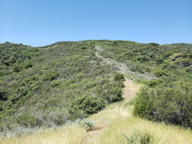
Fortunately, there is an alternative to the alternative that trims some of the road off the route and allows for more enjoyable travel by trail. Looking at aerial imagery of the area, I noticed a distinct track climbing to the ridge off Templin Highway just south of the entrance to the Whitaker Peak Road. That track cut through the chaparral to ascend a minor ridge before intersecting with and joining 6N53. Shortly after that, the trail again diverges from the road, shaves the first big hairpin turn, the parallels 6N53 to the southwest along a ridgeline. It rejoins the road at the ridgeline where 6N53 and 6N53B become one.
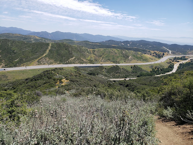
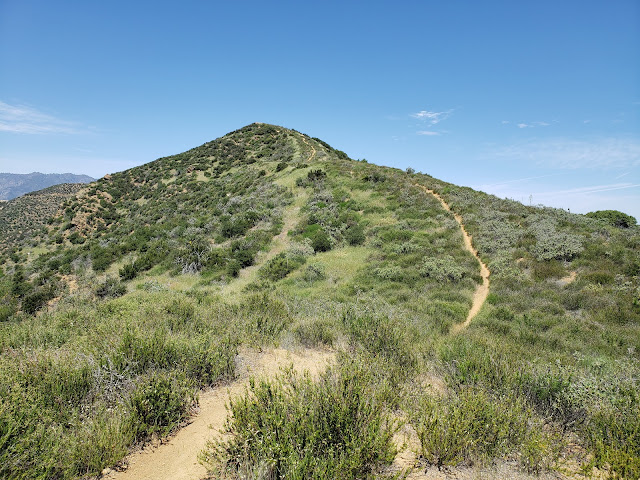
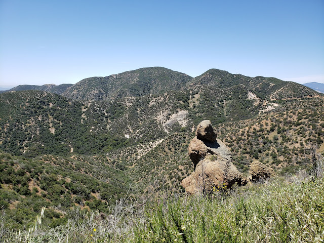
The trail is not immediately evident as it leaves Templin Highway, but after sniffing around some I found it. It appears to be primarily a motorcycle or perhaps an MTB route that sees enough use to be established. The lower section is quite steep in places, but that steepness subsides after you intersect with 6N53. Above that, the trail climbs enjoyably to the ridgeline where views of Canton Canyon to the south and Whitaker to the west begin to open up. As I climbed this upper section, an endangered California Condor glided by, riding thermals in the cloudless sky.
 |
| Lower Trail |
 |
| I-5 from Lower Trail |
 |
| Upper Trail |
 |
| View South from Upper Trail |
Here, the dull road walk began. The road, which is asphalt here, gently drops maybe 150' to a saddle, turns to dirt, and then starts a gradual climb toward "West Whitaker" to the south. Along the way, grand vistas to the west open up showing off Cobblestone Mountain, the Condor Sanctuary, and the seldom-visited areas of the Southern Los Padres. Turning back north, you can see Slide Mountain and the Fire Lookout tower perched atop it.
As the road nears its terminus, it skirts a low saddle along the ridgeline that separating the two Whitakers. Here, I scrambled up the embankment, attained the narrow ridge, and then bobbed and weaved my way cross-country to the summit of Whitaker proper. There is brush here and it is generally negotiable, but I did need to drop beneath the ridgeline in several places to find the path of least resistance.
Atop the summit, I located a summit register and signed in. Whitaker doesn't see much action, and the signatures dated back to January, 2011 when the current register was first placed there. There is reputedly a benchmark at the summit as well, but I did not see it. I later learned that it is immediately adjacent to the rock pile housing the register, but that it is counter-sunk. Had I known that at the time, I probably would have put in some effort to clear the dirt away and locate it. Oh well.
The summit of Whitaker itself isn't terribly interesting or inviting. It is broad, flat, shadeless, rockless, and brushy. I borrowed a rock from the summit cairn as a seat, stripped off my sweaty shirt, and sat in the sun brushing pesky flies away as I rehydrated and enjoyed a snack. Then I retraced my steps back to my car that was parked on the wide shoulder along Templin Highway. On my way out, I passed the only person I saw all day going in my opposite direction on 6N53B.
I didn't keep stats for the day. I rarely do that as that is not my primary objective when I go out. But AllTrails says it's 9.4 miles round-trip to "West Whitaker" with 1,617 feet of elevation gain. Based upon my day out, that feels like it's in the general ballpark.
 |
| Cobblestone and the Condor Sanctuary |
 |
| Whitaker from the Ridgeline |
 |
| Summit Register |
 |
| "West Whitaker" |
 |
| Cobblestone (L) and Slide (R) |
 |
| Whitaker's Summit |


