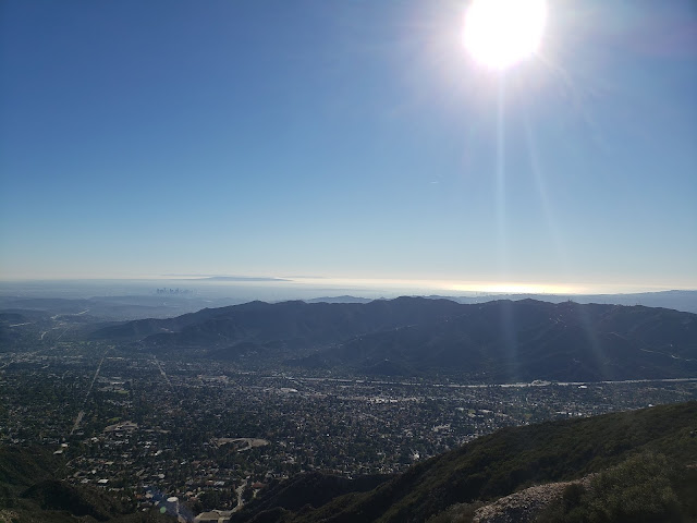
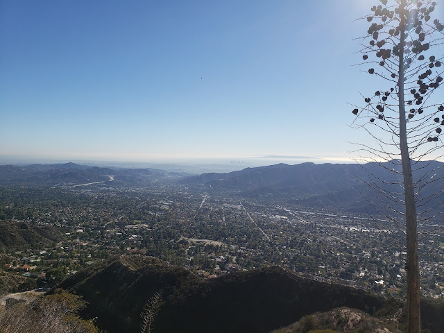
Roman Polanski once said "Los Angeles is the most beautiful city in the world, as long as its seen at night and from a distance." Obviously, Mr. Polanski never hiked the Crescenta View Trail on crystal clear, sunny day in November. If he had, he would have known that viewed from on high and afar, with the island-studded, gleaming Pacific as a backdrop, the City of Angels is a spectacular, if not messy, sight to behold.
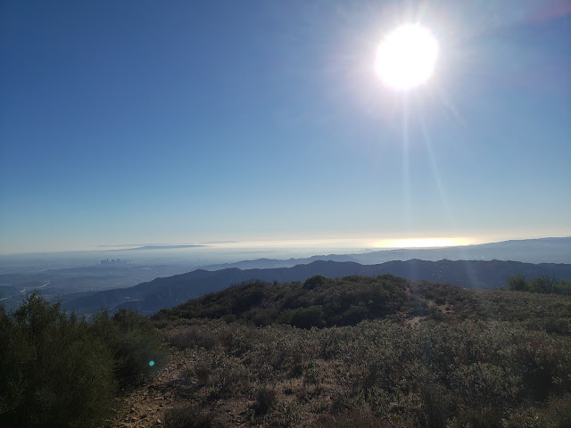
How do I know this you ask? Because I recently hiked the Crescenta View Trail on a crystal-clear, sunny day in November. And from a perch at 4,400' feet, Los Angeles, in all its frenetic, sprawling, chaotic glory is quite a beautiful thing. This despite what all those sneering east coast elites and raffish midwestern outsiders might say otherwise.
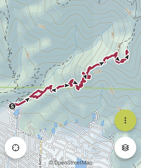
The Crescenta View Trail starts at Deukmejian Regional Park which is technically in Glendale. As far as trailheads go, Deukmejian is somewhat unique in that it has plentiful free parking, water, and full bathroom facilities. Bueno! The track begins at the rear of the parking area and gently ascends Dunsmore Canyon adjacent to the dry creek bed. A short distance up-canyon, a trail branches off to the right and crosses over to the east side of Dunsmore Creek before continuing northward. A similar connector intersects the Dunsmore Canyon Trail further up the canyon. Wanting to get off the more heavily-traveled main trail, I took the first branch which was a mistake as the path has been completely washed away where it crosses to creek. I had to scramble up a steep and brushy bank on the other side to regain the trail. I did not repeat that mistake on the return trip, following the second connector further up canyon.
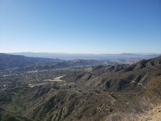
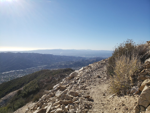
A short distance later, the climbing begins as the path switch-backs up the ridge that separates Shields and Dunsmore Canyons. The climbing isn't particularly steep, but it is sustained and really doesn't let off until you reach the saddle where the Crescenta View Trail ultimately intersects the Mt. Lukens fireroad. From that point, you can traverse the dirt road a short distance west to the summit of Mt. Lukens, the highest point in the Los Angeles proper at 5,074 feet.
There is apparently some controversy over the name "Mt. Lukens." According to the Sierra Club HPS Section, the peak was previously named "Sister Else (or Elsie) peak. Nobody seems to remember or know who the original female namesake was, but as part of the 1875 Wheeler Survey, a chap named "McLain" decided "Lukens" was a more appropriate appellation and so renamed the peak in honor of Theodore Lukens, a former Supervisor of the Angeles National Forest. McLain ostensibly did this because "mountains should be monuments to the men who have treasured and protected them," gratuitously observing "what did Sister Elsie ever do for the mountains?"
Anyway, my objective this day was not the summit of Sister Else Peak. Instead, my plan was to simply hike to the Redoubt, a circular rock enclosure on one of the ridge's promontories accessorized with a flagpole. There, I figured I'd take in the views, have a snack, lollygag a bit, and then return to the parking lot. But as alluring as that might sound, the Redoubt is an exposed and shadeless place, and sitting there baking in the direct sunlight for any appreciable amount of time is not ideal. So I continued another 3/4 mile up the trail to the Pickens Spur water tank which is also a shadeless and exposed spot, although perceptibly cooler. Plus, the flat concrete there affords an opportunity to lounge about without having to roll around in the dust and dirt.
From this spot high on the ridgeline, the entire Los Angeles basin is observable. Downtown, midtown, Century City, Santa Monica, the Palos Verde Peninsula, the Valley, and the Verdugos are spread out before you like a crazy metropolitan quilt. To the distant east, you also get impressive looks at all the celebrities of the San Gabriel front country: Mt. Deception, San Gabriel Peak, Occidental Peak, Mt. Markham, Mt. Wilson, Mt. Lowe, and Brown Mountain.
I stripped my sweaty shirt off here, exposing my embarrassing corpulence to no one, and lingered for a while. Shortly after that, things got amazingly hazy so I packed up and started back down the way I came.
Total mileage for this one came in at 5.20 with an elevation gain of just shy of 3,000 feet.





No comments:
Post a Comment